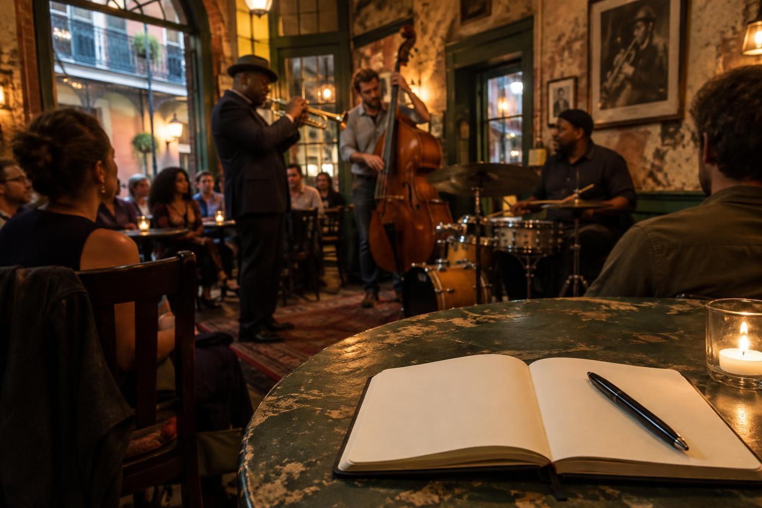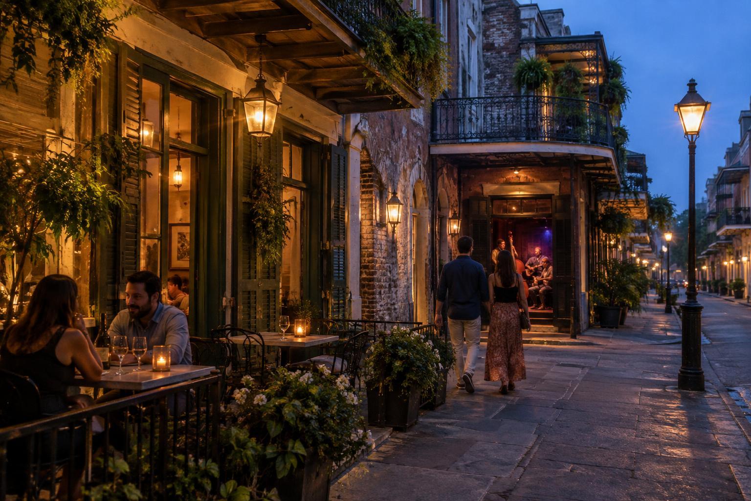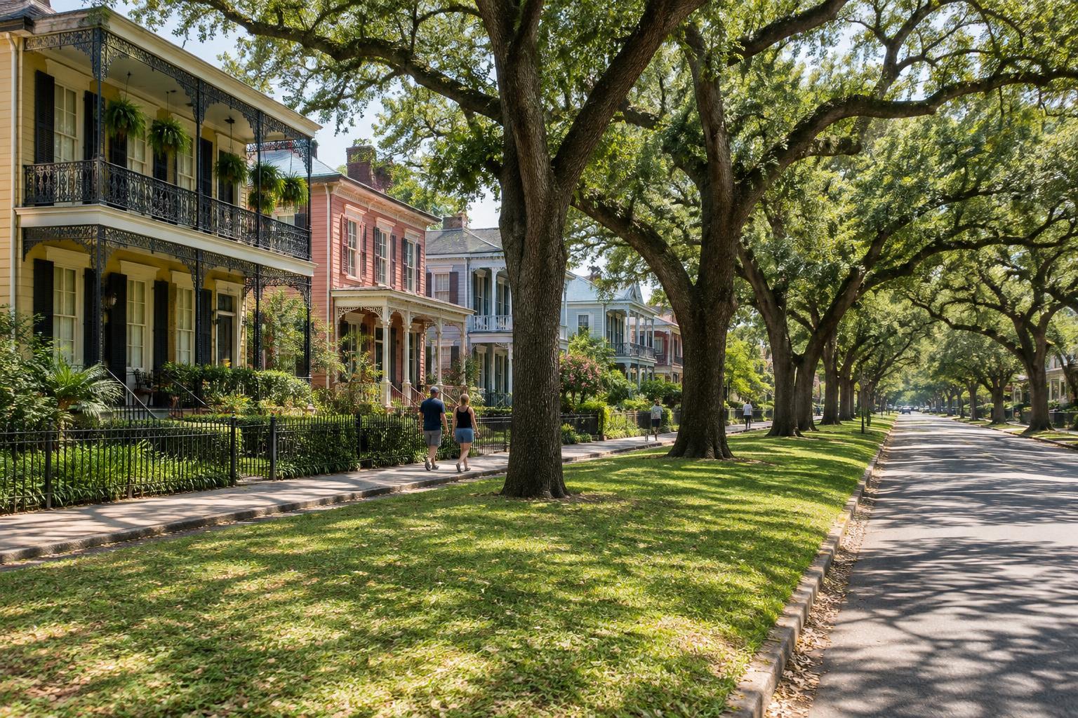
Think of Esplanade as a route, not one destination
Esplanade Avenue runs from the river end of the French Quarter area toward City Park. It can help you connect places on a map, but walking its full length is a different outing from exploring a few blocks near the Quarter. Decide how much time and energy you want to spend before treating the avenue as a single walk.
The surroundings change along the way. Near the river, you are close to heavily visited streets; farther inland, residential blocks become a larger part of the experience. The avenue also passes near several neighborhoods without providing a neat introduction to any one of them. A walk here is best understood as a look at a corridor and its connections, not a survey of every neighborhood beside it.
Choose a section that fits your day
For a shorter outing, start near the river end and walk inland to a major cross street that suits your plans. This lets you notice the shift away from the French Quarter without committing to the entire route. If you are hoping to spend time in City Park, consider starting closer to the park instead. You can explore that end of Esplanade and still have time and energy for the park itself.
A longer walk can link the two ends, but leave room for stops and a change of plan. New Orleans heat, humidity and rain can make a distance feel longer than it looks on a map. Look up the route beforehand, identify a practical place to finish, and check your return transportation options. Do not assume that a ride will be equally convenient at every point along the avenue or at every hour.
Use cross streets as checkpoints rather than trying to follow informal neighborhood boundaries. Street names such as Rampart, Claiborne and Broad can help you locate your progress on a map. Their intersections are also useful moments to decide whether to continue, turn toward another planned stop, or end the walk.
Pay attention to the street, not just the scenery
Esplanade is a working avenue with vehicle traffic and cross streets, not a pedestrian-only promenade. Walk on available sidewalks, use crossings, and allow extra time at busy intersections. Conditions underfoot can vary, so watch for uneven pavement, tree roots and other obstacles. If a stretch does not feel comfortable to walk, changing your route is a sensible choice, not a failure to complete it.
The avenue’s tree canopy and buildings may draw your eye upward, but keep your attention on driveways and intersections as well. Carry water, choose footwear you can comfortably walk in, and consider daylight if your main goal is to see the streetscape. Before setting out, check the weather and any transportation details that matter to your return; neither needs to be left until you are tired and ready to go.
Let nearby neighborhoods remain lived-in places
Esplanade offers glimpses down side streets, but those streets are not exhibits. Keep to public spaces, give people room to pass, and avoid treating front steps, porches or yards as photo settings. If you stop to look at a building, leave sidewalks and entrances clear. Everyday courtesy matters more than trying to identify an exact neighborhood line from a map.
You do not need to cover every block to make this a worthwhile outing. One approach is to pair a chosen section of Esplanade with a specific destination, then stop there rather than adding unplanned mileage. Another is to walk outward for as long as conditions feel comfortable and arrange your return from a cross street you identified in advance. Either plan gives you a clearer sense of the avenue while leaving space for the places and people who use it every day.