Start with the map, not a list of stops
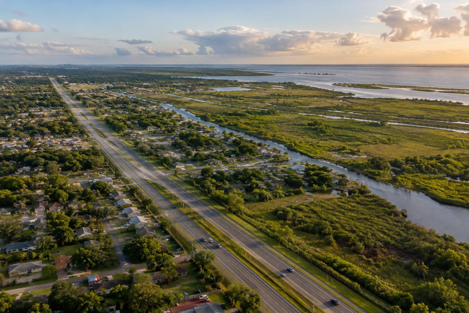
New Orleans East refers to a broad part of the city east of the Industrial Canal, also called the Inner Harbor Navigation Canal. It is not one compact neighborhood with a central square or a single walking route. Residential areas, shopping corridors, waterways and stretches of open land are spread across a much larger area than many first-time visitors expect.
On a map, Lake Pontchartrain forms a useful northern reference point. Interstate 10 runs across the area and often serves as the most direct route for drivers. Chef Menteur Highway, also signed as U.S. 90, offers another east–west reference. Farther east, the landscape becomes increasingly shaped by wetlands. These landmarks help explain why two places labeled “New Orleans East” may be some distance apart.
The name can also be confusing at the canal. The Lower Ninth Ward lies east of it but is generally discussed as a distinct neighborhood, with its own history and geography. If a guide, event listing or friend says a destination is “out east,” get the address rather than assuming you know which area they mean.
Think in corridors and destinations
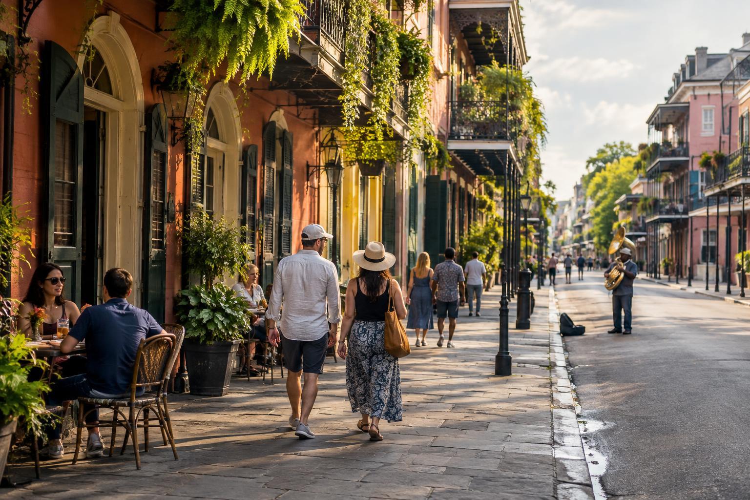
A useful way to plan is to choose a specific destination first, then look at the streets around it. An errand along a commercial corridor, a meal at a restaurant and a visit to a nature area may each call for a different route. They are unlikely to fit neatly into the kind of on-foot itinerary that works in the French Quarter or parts of the Marigny.
New Orleans East is home to long-standing communities and a range of food traditions, including Vietnamese food. Its appeal is not limited to one landmark or cuisine, though. Treat a restaurant, shop or cultural stop as a place in an active neighborhood, not as proof that the whole area looks or functions the same way. Check an establishment’s address and hours directly before setting out; names, locations and opening times can change.
Know where the built city meets the wetlands
The eastern side of New Orleans offers a different sense of the city’s setting. Bayou Sauvage National Wildlife Refuge and surrounding wetland landscapes show how close developed streets are to marsh and water. That contrast can make a focused nature outing worthwhile for visitors interested in birds, scenery or the geography behind New Orleans’ relationship with water.
Do not assume, however, that a green area on a map has a convenient entrance or that every path is open for casual use. Look up the specific public access point you intend to visit and check current conditions with the managing agency. Bring water and prepare for sun, insects and changeable weather. A nature stop is best planned as its own outing rather than squeezed between loosely mapped food stops.
Build travel time into the plan
Distances are the most common planning surprise. A destination in New Orleans East may be within city limits yet require a substantial trip from a hotel near the river or the French Quarter. Driving can make a multi-stop visit simpler, but allow for traffic, turns off major roads and the return journey. Before leaving, compare the route to each exact address rather than estimating from the neighborhood name.
If you will not have a car, check transit routes, service times and the final walking segment for your particular destination. A bus route visible on a map does not guarantee an easy connection between two stops. Confirm a return option as well, especially if you are going out for dinner or an evening event. Rideshare availability and pickup logistics can vary, so it helps to have a backup plan.
Visit with curiosity and a realistic scope
New Orleans East is part of New Orleans, not an excursion outside the city, but it rewards a different pace from a short stroll through a tourist district. Pick one or two reasons to go, confirm the details that matter, and leave room to notice the streets and landscape between stops. A focused plan will tell you more than a rushed attempt to cover an enormous area.
As in any residential part of the city, respect private property and avoid treating neighborhoods as scenery. If you want context for a place’s history or culture, seek out local museums, community organizations or knowledgeable guides rather than drawing conclusions from a drive-through. The first step, though, is simple: find your destination on a map and understand which part of New Orleans East you are actually visiting.