Start with the district’s edges
The Central Business District, usually shortened to CBD, sits beside the French Quarter and stretches back from the Mississippi River. It mixes office buildings and hotels with theaters, restaurants, historic buildings and busy transit corridors. Its boundaries can feel less definite than those of the French Quarter: depending on whom you ask, parts of the adjoining Warehouse District may be described separately or folded into a broader idea of downtown.
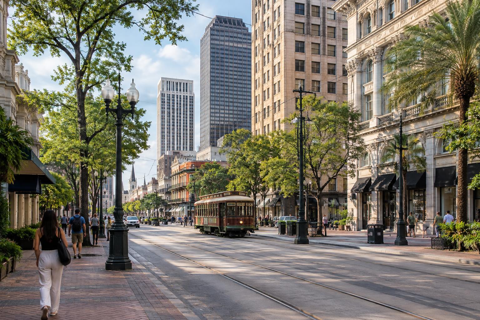
Canal Street is the clearest starting point. It marks the familiar transition between the French Quarter and the CBD. If you are standing on Canal with the Quarter behind you, you are facing into the CBD. The riverfront provides another strong reference point. Moving away from the river generally takes you toward the district’s inland side, where major roads and large venues change the scale of the streets.
Use a few streets as your framework
Poydras Street is one of the CBD’s main cross-district routes. It runs between the riverfront area and the inland side of downtown, passing office towers and hotels along the way. Find Poydras on a map and you have a useful line for judging where other destinations sit. Canal Street forms another prominent line, while St. Charles Avenue leads through the CBD toward neighborhoods farther upriver.
Camp Street and Magazine Street are helpful names to recognize as you walk between Canal Street and the streets nearer the Warehouse District. As elsewhere in New Orleans, do not assume the street grid behaves like a perfect set of squares. The river curves, some streets change character, and a route that looks straight on a small map may call for a turn or a crossing you did not expect. Checking the next intersection is often more useful than trying to navigate by compass alone.
Find your bearings with landmarks
Lafayette Square offers a smaller-scale landmark among the CBD’s taller buildings. Gallier Hall faces the square, and the surrounding blocks make a useful reference when locating nearby streets. Farther inland, the Caesars Superdome is hard to miss and helps identify the edge of the downtown core. It may appear close from several blocks away, so allow for a longer walk than its size suggests.
On the river side, Canal Street leads toward the waterfront and the area around the Audubon Aquarium. Near the inland side of downtown, the Union Passenger Terminal is another useful map reference for travelers arriving by train or bus. You do not need to visit any of these places to benefit from them: together, they help separate the Quarter-facing, river-facing and inland parts of the CBD.
Understand local directions and neighboring districts
New Orleanians often give directions in terms of the river and the lake, or say that a place is upriver or downriver. These terms can be more useful than north and south in a city shaped by a bending river. In the CBD, “toward the river” and “toward Canal” are especially practical instructions, though it is still worth confirming a cross street before setting out.
The CBD also works best as a set of connections rather than an isolated neighborhood. Cross Canal Street and you enter the French Quarter’s street grid. Head toward Julia Street and you reach an area commonly associated with the Warehouse District and its arts venues. Follow St. Charles Avenue away from Canal and the setting gradually changes again. These transitions are part of exploring downtown, but neighborhood labels may vary from one map or local conversation to another.
Plan the walk, not just the destination
A short-looking route through the CBD can include wide intersections, heavy traffic and blocks dominated by large buildings. Choose a few anchor streets before leaving, then check the address and nearest cross street of each stop. Comfortable walking shoes and a little extra time make it easier to pause, look around and change course without feeling rushed.
Streetcars serve corridors along Canal Street and St. Charles Avenue, but routes and service can change. Confirm current transit information if a ride is essential to your plans. The same applies to museum hours, performances and other time-sensitive stops. For a first visit, a simple plan—Canal Street, one inland landmark, and a walk toward the river or Julia Street—will give you a workable mental map without trying to cover all of downtown at once.